The digitisation of land records in Karnataka, spearheaded by the Bhoomi project, represents one of the most significant administrative transformations in modern India. Launched in 2000, Bhoomi was designed to replace a manual, paper-based system managed by 9,000 village accountants with a transparent, statewide digital ecosystem. Historically, village accountants exercised near-total discretion, leading to opacity and pervasive corruption. Today, the system manages approximately 20 million (2 crore) Record of Rights, Tenancy, and Crops (RTC) documents, serving over 6.7 million farmers.
As of early 2026, the Karnataka government has accelerated its digitisation drive, aiming to scan 100 crore pages of legacy revenue records to ensure every historical transaction is preserved and accessible. This guide provides a detailed walkthrough of the Bhoomi app and portal, ensuring you can navigate Karnataka’s land governance system with confidence.
The Digital Shift: Why Bhoomi Matters
Before Bhoomi, obtaining an RTC was a prerequisite for securing bank loans or resolving disputes, yet village accountants were often inaccessible. The time required to procure a record ranged from three to thirty days, often depending on bribes. By eliminating the manual system, Bhoomi ensures that only computer-generated RTCs, duly signed by authorised signatories, are legally valid. This has effectively dismantled the monopoly of local officials over legitimate documentation.
Essential Services on the Bhoomi App
The Bhoomi portal and its mobile extensions offer a comprehensive suite of services that allow citizens to verify ownership and secure legal documents from their smartphones.
Viewing and Downloading RTC (Pahani)
The Record of Rights, Tenancy, and Crops (RTC), locally known as Pahani, is the primary output of the system. It is a legally valid 13-column document capturing critical data:
• Land Identification: Survey numbers, hissa (sub-division) numbers, and total area in acres or guntas.
• Assessment & Classification: Soil type, water rates, and tree counts.
• Ownership Details: Names of current and past owners, specific shares, and khata numbers.
• Encumbrances & Liabilities: Details regarding bank loans, mortgages, or court stays.
• Cultivation Records: Current crops grown, irrigation sources, and tenancy information.
For legal validity in courts or for bank loans, users must download the i-RTC, an electronically signed PDF version. The fee for a digitally signed RTC is typically ₹10.
Tracking Mutation Status in Real-Time
Mutation is the process of updating the Record of Rights after ownership changes due to sale, inheritance, gift, or partition. In 2026, the Bhoomi system follows a strictly monitored digital workflow:
1. Electronic Transfer: When a transaction occurs at a Sub-Registrar’s office, data is sent automatically via the Kaveri 2.0 portal.
2. Notice Period: A statutory 30-day notice period is observed for public objections.
3. Automatic Escalation: If a Revenue Inspector does not approve or reject a request within 50 days, the system automatically escalates it to a senior official.
4. Auto-Mutation: Since April 2024, changes not requiring field verification—such as bank mortgages or court orders—are processed as automatic mutations, often within 24 hours.
Accessing Revenue Maps and FMB Data
Bhoomi provides access to geo-referenced cadastral maps. These maps show village boundaries and survey layouts, helping buyers verify land boundaries match the official record. The Field Measurement Book (FMB) data, including technical measurements like the “Tippan,” is also accessible for detailed verification.
How to Download the Official Bhoomi App
To ensure data safety and avoid phishing scams, always use official sources.
1. Visit the Google Play Store: Search for “BHOOMI” developed by the Revenue Department, Government of Karnataka.
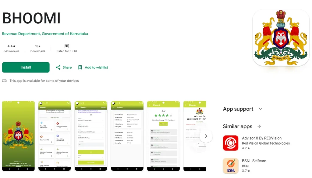
2. Verify the Developer: Ensure the developer is listed as “Revenue Department, Government of Karnataka”.
3. App Features: The app supports viewing RTC info, tracking mutation status, and checking land restrictions.
4. Usage Statistics: The app has over 100,000 downloads and requires biometric or OTP authentication for secure access.
Troubleshooting Bhoomi App Login and Database Issues
Despite being a pioneer, the Bhoomi ecosystem faces technical challenges as it scales.
Dealing with Server Downtime
Recent user reviews from early 2026 indicate frequent server lag.
• Peak Hours: The portal often becomes unresponsive during high-traffic weekday hours.
• Login Failures: Users have reported being unable to login for up to three months due to server maintenance.
• Strategy: If the app is down, visit the official web portal (landrecords.karnataka.gov.in) or a local Nada Kacheri kiosk, as kiosks often operate on the Karnataka State Wide Area Network (KSWAN).
Correcting Mismatched Land Details
Approximately 25% of RTCs contain some form of legacy error.
• Common Errors: Incorrect owner names, area mismatches, or “Paiki” numbers (sub-divisions existing in text but not on maps).
• Correction Process: The government has launched “Podi Andolan,” a drive to correct these errors at the farmer’s doorstep. Users can also apply for corrections via the local Tahsildar or Village Accountant.
Complementary GIS Tools for Landowners
Karnataka has expanded its toolkit with specialised apps for spatial verification.
Dishaank App: GPS-Based Survey Number Search
Developed by the KSRSAC, Dishaank is essential for on-field verification.
• Mechanism: It uses phone GPS to identify your location on a geo-referenced cadastral map.
• Utility: It allows you to stand on a plot and see its survey number and whether it is restricted “Gomala” (government) land.
• Current Status: As of 2026, the app reflects approximately 58% of hissa maps that have been georeferenced.
Mojini V3: Online Survey Sketches
The Mojini platform handles land measurement requests.
• 11E Pre-Mutation Sketch: It is mandatory to provide a proposed sub-division sketch (11E) before registering any partial sale of land.
• Svavalambi Scheme: Launched to reduce the 60-day waiting period, this scheme allows citizens to create their own sub-division sketches online.
Frequently Asked Questions
Is the Bhoomi App RTC valid for bank loans?
Yes, but only the digitally signed i-RTC (available for ₹10-₹15) is legally accepted by banks and courts as proof of ownership.
What are the charges for app services?
Basic viewing is free. Certified copies like i-RTC cost ₹10, while mutation extracts and Tippan maps cost ₹15.
How do I link my Aadhaar to my land records?
This is done via the Aadhaar Seeding module. Currently, about 53% of all landowners have linked their Aadhaar to prevent fraudulent transactions.
Why does my name not appear in Bhoomi after buying an urban plot?
Bhoomi focuses on agricultural land. For urban properties in Bengaluru, records are managed via the e-Aasthi database. Once land is converted, the RTC is marked “Bu.Pa” and tracking moves to municipal systems.
Conclusion: The Future of Land Governance in Karnataka
The Bhoomi ecosystem is moving toward a conclusive land-titling system, where the state guarantees the accuracy of the record. With the implementation of the Unique Land Parcel Identification Number (ULPIN)—a 14-digit “Aadhaar for Land”—Karnataka is building a unified ecosystem. While technical issues persist in early 2026, the fusion of satellite imagery (Dishaank), citizen-centric survey tools (Svavalambi), and massive legacy digitisation ensures Karnataka remains at the forefront of digital land administration.